I have been studying late-antique Egypt for a while now, with special attention for the Fayum lately – but I had never actually been to Egypt. From 8 to 16 February, I had the opportunity to participate in the Fayum Winter School, which was organised by the University of Warsaw and the Polish Centre of Mediterranean Archaeology. For a little more than a week, I visited various sites together with an international group of PhD candidates from all over Europe to study the archaeological context of the texts we all work with, from Karanis to Theadelphia, and from Soknopaiou Nesos to Deir el-Naqlun and Hawara. How did this sojourn help me in my research? Experiencing the natural environment of Egypt myself truly changed my understanding of late antique lives and my ability to empathise with what is described in the sources. In this blogpost, I will tell a little about it.
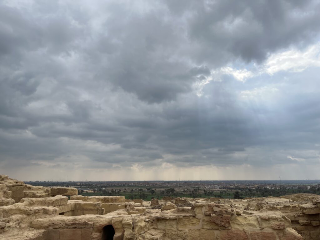
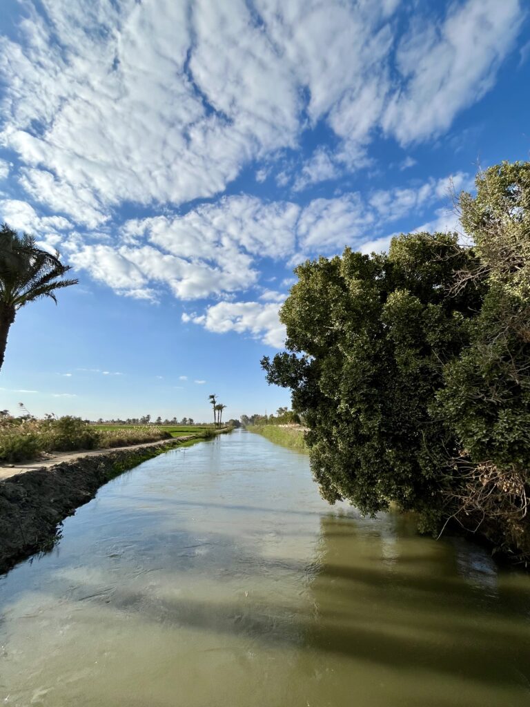
One of the central themes of the Winter School was the way in which water was managed in this part of Egypt. The Fayum is a natural depression in the landscape, which allows water from the Bahr Yusuf branch of the Nile to flow in, forming Lake Moëris. In the Middle Kingdom, pharao Amenemhet III had already stimulated agriculture in the Fayum on land claimed from Lake Moëris. The Ptolemies ordered large scale land reclamation in the third century BCE. In the fourth century CE, however, important dams in this infrastructural whole started falling into – apparently – unsolvable disrepair, which was one of the reasons for the gradual abandonment of the northwestern and northeastern edges of the Fayum, where villages like Dionysias, Bakchias and Philadelphia were situated. The twentieth-century dams in the Nile have put an end to the annual Nile floods, but by and large the water in the Fayum seems to flow to Lake Moëris along the same canal routes and drains that existed two thousand years ago. Coming from the Netherlands, which is a river delta as well, I found it very interesting to learn more about the history of Egyptian water management on-site. Precisely because of my northwestern-European origin, I had difficulties imagining what dependence on a river and springs for fresh water in an absence of regular rainfall looked like. The gravity of water theft and the intensity of disputes over water, both of which we encounter in papyrological documentation, are more understandable to me now.


Travelling the Fayum in vans has given me a better sense of the time one must have needed to get from one village to the other, or to travel larger distances. By car, it took us about two hours to get from northwestern edge of the Fayum to the governate’s capital, ancient Arsinoe. In the ancient world, most people making this trip would have gone on foot or with a donkey. These means of transport are still common enough in Egypt today. The fastest donkeys I saw carried children. Those carrying grown men were a bit slower. In any case, it must have taken much longer than two hours to travel that same distance by animal, not to mention how long it must have taken to travel on foot. According to Stanford’s geospatial network model Orbis, the distance between Arsinoe and Herakleopolis took about a whole day on foot, about three days by ox cart. The distance between Arsinoe and Dionysias, in the Fayum’s northwestern corner, was about the same. Travelling by boat probably also was among the faster possibilities on the larger canals of the Fayum, provided one owned a boat or had the means to pay for the trip. Conducting official business in the nome capital was, therefore, a time-consuming business, especially for those people who lived relatively far away from Arsinoe. Likewise, it must have taken quite some time to get from Karanis, Theadelphia or, longer even, from Narmouthis to Soknopaiou nesos, a popular temple island where the crocodile god Sobek was worshipped. Karanis is situated to the northeast of the lake, Theadelphia is found southwest of it, and Narmouthis is found in the southwest of the nome. Whether one sailed over the lake, travelled around its shore, or travelled to the ferry, the trip cannot have been a short one. I found this especially intriguing because my current research is about domestic migration in late-antique Egypt. Texts barely (if ever) mention the exact time of travel. In P. Sakaon 44, for example, Sakaon, Heron and Kanaout must have been away from home for several days when they went on a mission to retrieve fugitive fellow-townsfolk in the Oxyrhynchite and Kynopolite nomes. Again, it must have taken two to three days to travel to Arsinoe and back to have the official petition drafted from which we know of this trip.
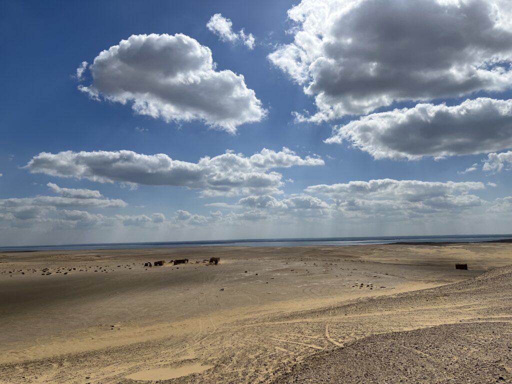
On the day we visited the former temple island of Soknopaios ourselves, we drove through the desert north of Lake Moëris. It was a long, dusty drive. Caravans used to take this route as well. Seeing the impressively high temenos of Soknopaiou nesos rise up on the horizon must have been astonishing. The ruins of the temple enclosure already inspired awe from afar. Visiting the places one studies truly is of value for better understanding the sources one works with. This Winter School has given a wonderful impulse to my research and I can only recommend everyone else who studies Egypt to visit the country as well.
Kevin Hoogeveen
